Advanced Methane Monitoring Solutions
Utilizing drones and satellites for precise methane detection.
Drone Surveillance
High-resolution imagery for accurate methane tracking.
Satellite data for comprehensive emission analysis.
Interactive maps showcasing methane emission hotspots.
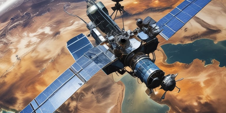
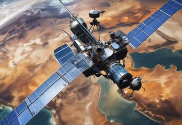
Satellite Monitoring
Real-time Data
Innovative Methane Monitoring Solutions for All
At MethaneWatch, we leverage cutting-edge drones and satellites to monitor and visualize methane emissions, ensuring a safer environment through advanced technology.
Exceptional service, solving real issues.
GreenTech
"
Methane Monitoring Solutions
Utilizing drones and satellites for precise methane detection and monitoring across various industries.
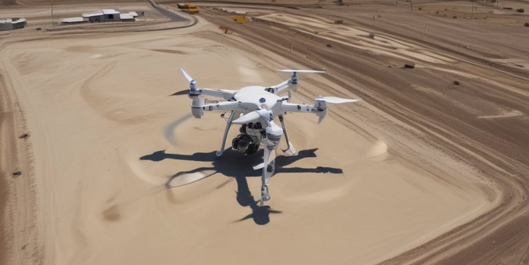
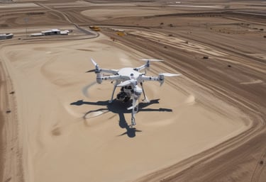
Drone Imagery
High-resolution drone images provide real-time insights into methane emissions and environmental impact assessments.
Satellite Surveillance
Advanced satellite technology enables comprehensive monitoring of methane emissions on a global scale.
Connect With Us Today
Get in touch for methane monitoring solutions and learn how our drones and satellites can help your business manage emissions effectively.
Support
contact@methanewatch.com